-
Aerial Photography & Orthophotography
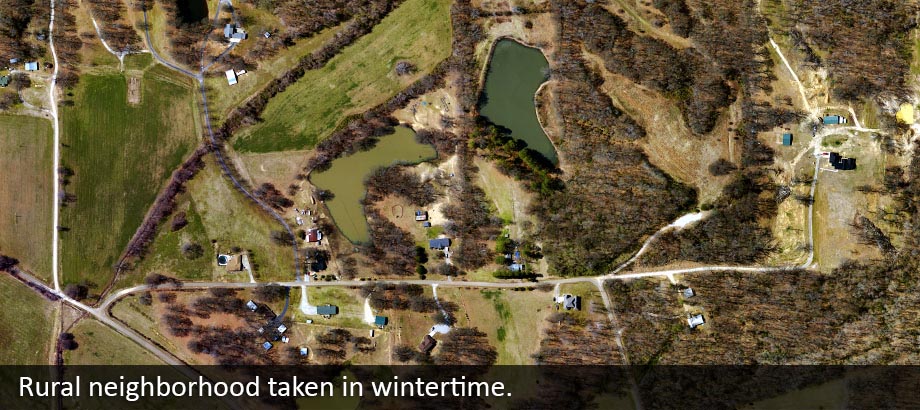
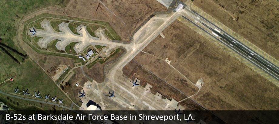
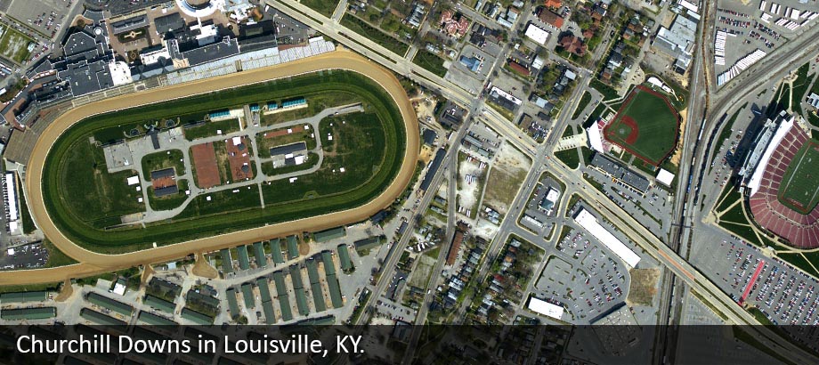
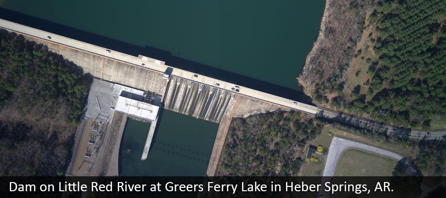
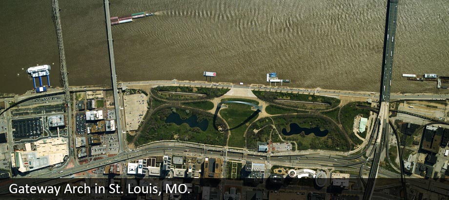
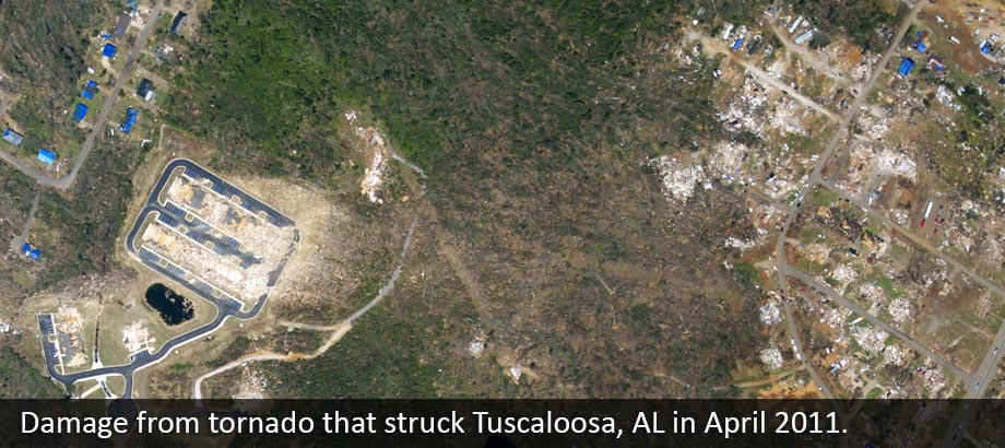
We use the Applanix DSS-439 digital sensor to provide a comprehensive solution for producing affordable, highly accurate, high-resolution color and color-infrared digital orthorectified imagery and mosaics. Certified by the USGS, this is the leading digital imaging answer for aerial survey and remote sensing applications requiring a rapid, cost-effective and high-resolution solution.
Learn More >
-
GIS Services
The key to a solid structure is always a solid foundation. Likewise, horizontally accurate, high-resolution imagery is the cornerstone to any GIS program. Working with you, EFS can design, develop and implement an enterprise GIS solution to meet your needs – big or small.
Learn More >
-
Contact Us
EFS GeoTechnologies
P.O. Box 90
360 Airport Road
Monticello, Arkansas 71657Office: (870) 460-9994
Fax: (870) 460-9996

twitter.com/EFSGeoTech
www.facebook.com/EFSGeoTech
Home | Aerial Photography | GIS Services | DSS Sensor INFO | News | Contact | About Us
All Imagery ©2012 EFS GeoTechnologies, Monticello Arkansas
All Imagery ©2012 EFS GeoTechnologies, Monticello Arkansas


