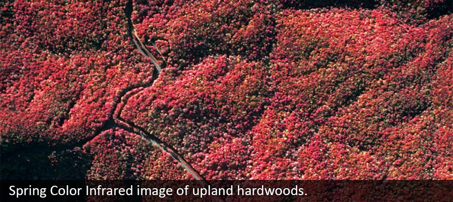
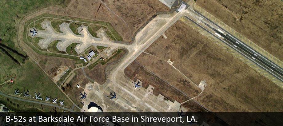
We Specialize in Digital Aerial Photography and GIS Services
EFS GeoTechnologies has been meeting the needs of clients since 1983. We have the skills, professional staff, state of the art equipment and software to meet the needs of your most demanding aerial photography projects. We provide affordable and timely solutions to a wide range of clients across the United States on projects of all sizes. Projects are varied and often include ortho, cadastral mapping, HCA, pipeline right of way, corridor mapping, GIS, forestry, emergency response and others.