Arkansas Assessors’ Summer Meeting 2014

Assessor_Conference_061114


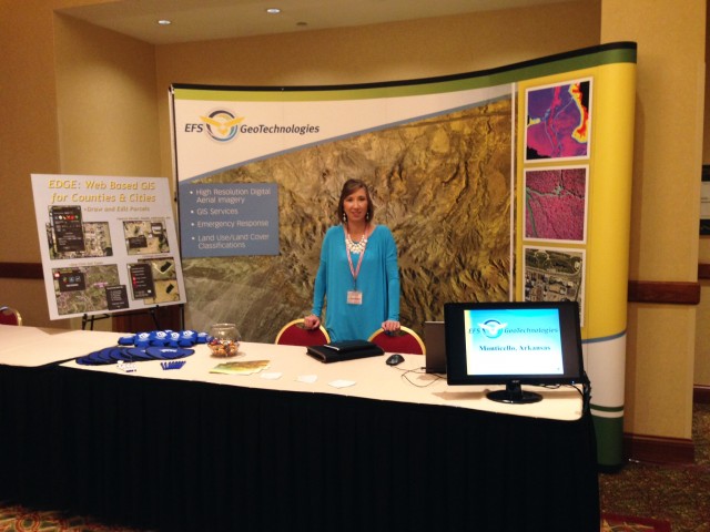
Arkansas Assessors, stop by EFS GeoTechnologies’ booth at the upcoming Summer Assessors’ Meeting at the Embassy Suites in Rogers, Arkansas, June 10-13. Auddy Doss and Erica Byers will be attending the conference and will be available each day to discuss your Aerial Photography and GIS/Mapping needs. For over 27 years EFS has provided High Resolution Aerial Photography and GIS services. EFS is your LOCAL in state provider of these services and count it an honor to work with Arkansas Counties in designing a program for Aerial Photography and GIS. Along with Aerial Photography be sure to ask about updates to EFS EDGE. EDGE allows for the sharing of GIS data across multiple county offices and provides options for the maintenance of your Parcel maps and other GIS data. The EDGE website was designed especially for Arkansas counties. The EDGE Mobile app can be configured as a mobile solution for your staff as well as an avenue to share your work with county constituents. Auddy and Erica look forward to the conference and the opportunity to discuss how EFS may serve your county.


EFS GeoTechnologies is an Aerial Photography and GIS Services company based in Monticello, Arkansas. To learn more about EFS please visit www.EFSGEOTECH.com. Also, to receive updates from EFS you can follow them on Facebook and Twitter.

Similar Posts

  • EFS Staff Update

    TJ Andrews Joins EFS Team September 4, 2017 – TJ Andrews accepted a position with EFS as Pilot for EFS’s Aerial Photography Team.  In addition to his aerial photography collection responsibilities, TJ has been assisting with EDGE GIS projects when not in the air.  Born in Chicago, IL, TJ received a B.S. in Aviation Flight…

  • GITA Conference 2012

      Come by Booth #212 at the GITA Oil & Gas Pipeline Conference for Your Chance to Win a New Google Nexus 7! Join us on October 22-24 in Houston, TX Stop by EFS GeoTechnologies’ Booth (#212) and visit with Glen Dabney (President) and James Hartshorn (Director, Product Development) at the GITA Oil & Gas…

  • Professional Surveyor Magazine Aerial Mapping

    The current issue of Professional Surveyor Magazine features a case study of EFS GeoTechnologies. “The challenges of operating a successful aerial survey firm are many – inclement weather, scheduling challenges, tight deadlines, and the occasional buzzard…” Download the PDF here, or read the full article online at: http://www.profsurv.com/magazine/article.aspx?i=70651&p=1

  • Justin Rollans Joins EFS Team

    July, 2018 – Justin Rollans accepted a position with EFS as Support Analyst for EFS’s EDGE Team.  Justin works with the EDGE Team on development, implementation, and customer support for various GIS projects. Justin is also a licensed commercial sUAS pilot. Born in East End, AR, Justin received his B.S. in Geographic Information Sciences from…

  • Dabney Reappointed to AR State GIS Board

    The Arkansas Geographic Information Office (AGIO) announced Wednesday Glen E. Dabney, R.F., A.C.F. President of EFS GeoTechnologies, was appointed to a second term on the Arkansas GIS Board by Governor Mike Beebe.  The Arkansas GIS board, comprised of twelve members from state and local government, the private sector, and institutions of higher education, works with the AGIO to coordinate…

  • Levi Hayes Joins EFS Team

    April 2, 2018 – Levi Hayes accepted a position with EFS as Pilot for EFS’s Aerial Photography Team.  In addition to his aerial photography collection responsibilities, Levi has been assisting the Image Processing Team when not in the air.  Born and raised in Van Buren, AR, Levi received a B.S. in Aviation, Professional Pilot Track with…